GIS stands for Geographical Information System. As the name suggests, GIS is an information system dealing with geographic information. The term “geographic information” is the key word here. Anything which pertains to geography is geographic. Geography is science that studies the lands, the features, the inhabitants, and the phenomena of the Earth (Wikipedia). A literal translation would be “to describe or write about the Earth”. Therefore the term geographic information would mean any information that is geographic in nature or that pertains to some features on earth is geographic information.
The system or toolset designed to deal with geographic information can therefore be called as geographic information system and the science and art of dealing with it as geographical information science.
Some definitions
- “A computer – assisted system for the capture, storage retrieval, analysis and display of spatial data, within a particular Organization” (Clarke, 1986).
- “A powerful set of tools for collecting, storing, retrieving at will, transforming and displaying spatial data from the real world” (Burrough, 1987).’’
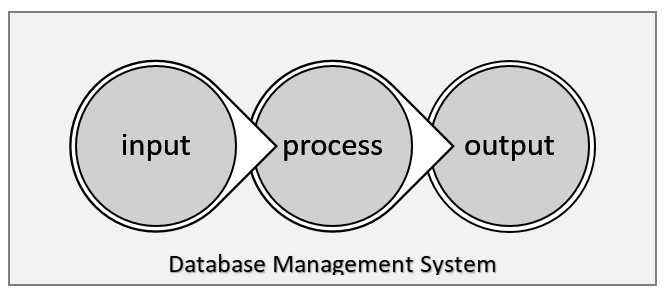
- A GIS is a computer-based system that provides the following four sets of capabilities to handle geo-referenced data, i.e. input, data management (data storage and retrieval), manipulation and analysis, and Output.(Aronoff, 1989)
- “An internally referenced, automated, spatial information system” (Berry, 1986).
Components of GIS

The hardware here is the computing system that can be either hand-held devices, stand-alone computers, or server-user network with many units. Hardware aids in storage, analysis, interpretation, and display of data containing geographic information. In addition to computers, there is important roles of other hardware like GPS, scanners, and sensors that help to collect the data necessary for GIS.
The software part consists of different functions that are capable of analyzing and manipulating the data so as to provide unique solutions to the specific problems. Besides, software can be considered as tools to store, retrieve, and display the data. GIS software lets you produce maps and other graphic displays of geographic information for analysis and presentation.
Data in GIS refers to the information of a location that can be point structures, area of an entity or linear features. Such data have the spatial extent containing the geographic location. The attributes of such spatial data consists of various related information of use.
Such data can undergo a process to be analyzed by different functions and tools so that relevant information can be extracted and displayed. Basic processes in GIS consist of measurements, monitoring, modelling, mapping, manipulating, and so on.
People are the users and communities who are using GIS for solution of their everyday problems. They may be data collectors who do field measurements, data analysts who interpret and manipulate the collected data, or communities whose requires GIS based solutions for their geographical issues.
Workflow in GIS
- Data acquisition and verification (input)
- Data storage and management systems (DBMS)
- Data analysis and interpretation (process)
- Data products and presentation (output)